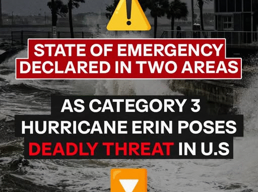
Hurricane Erin may have lost some strength, but forecasters warn it’s far from over. Emergency declarations in parts of North Carolina underscore the danger, as the storm continues to expand and pose risks across the Caribbean and the U.S. East Coast.
The National Hurricane Center (NHC) confirmed that Erin, which peaked as a Category 5 storm on Saturday, August 16, 2025, has dropped to Category 3. Still, sustained winds of 125 mph (205 km/h) and its growing size keep it classified as a major hurricane. Moving northwest at 13 mph (20 km/h), Erin is expected to curve northward early this week while maintaining dangerous intensity.
Even as it drifts offshore, the storm’s reach is immense. Hurricane-force winds extend outward 50 miles (85 km), while tropical-storm-force winds stretch more than 200 miles (335 km). The NHC has warned that Erin will remain large and hazardous, with risks well beyond its eye.
Heavy Rainfall and Tropical Storm Alerts
Erin’s outer bands are already unloading heavy rain. Puerto Rico faces two to four more inches of rainfall, while Turks and Caicos and the Eastern Bahamas could see up to six inches by Tuesday. These downpours bring the potential for flash floods, landslides in mountainous terrain, and mudslides in vulnerable areas.
Tropical Storm Warnings are active for Turks and Caicos and parts of the Southeast Bahamas, where storm conditions are expected imminently. Meanwhile, rough seas have spread across the Virgin Islands, Puerto Rico, Hispaniola, and the Bahamas, with swells reaching as far as Bermuda, the U.S. East Coast, and Atlantic Canada in the days ahead. Dangerous rip currents and surf are expected, and minor coastal flooding remains a threat.
U.S. Coastal Risks
Though Erin isn’t projected to make U.S. landfall, its expanding wind field will have wide-reaching coastal effects. North Carolina and Virginia are facing moderate risks of rain and strong winds, while much of the East Coast — including Florida — will still see hazardous surf, beach erosion, and localized flooding.
AccuWeather lead hurricane expert Alex DaSilva cautioned that coastal areas such as the Outer Banks, Long Island, and Cape Cod are most at risk. Should Erin track slightly farther west before turning north, East Coast impacts could intensify.
By midweek, areas like New York, New Jersey, and Connecticut could experience heavy surf, flooding, and gusty winds — especially along the Jersey Shore and Long Island. Inland areas, however, will likely see little more than breezy conditions and cloud cover.
Emergency Declarations in North Carolina
Authorities in coastal North Carolina have acted swiftly. Dare County declared a state of emergency, ordering mandatory evacuations for Hatteras Island — with tourists leaving by Monday morning and residents by Tuesday. Officials warned that storm-driven waves of 15 to 20 feet could overwhelm dunes, flood Highway 12, and make travel impossible.
Hyde County followed with a similar order for Ocracoke Island. Towering swells exceeding 20 feet are forecast, raising fears of washed-out dunes, isolated communities, and limited emergency services. Residents with health concerns were urged to leave while evacuation routes remain open.
A Reminder from Tropical Storm Chantal
The looming threat of Erin comes just weeks after Tropical Storm Chantal made landfall in the Carolinas. While quickly downgraded, Chantal still brought flooding rains, tornado watches, and dangerous coastal conditions. Officials point to Chantal as a warning of how fast storms can escalate along the East Coast.
Preparedness Remains Key
Emergency agencies continue to emphasize readiness. Federal guidance urges residents to prepare evacuation plans, pack essential go-bags, and secure their homes. With storms capable of shifting course suddenly, officials stress that proactive preparation saves lives.
From coastal evacuations to inland flood alerts, Erin serves as a stark reminder that hurricane season is far from over — and the impacts of these storms can be felt well beyond their projected paths.